
The Pencil Stroke That Divided The Middle East
How a secret map drawn in 1916 by two bureaucrats fueled a century of global conflict and instability.
Listen in the Fylom app.
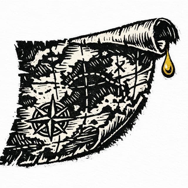
Mark Sykes and François Georges-Picot drew a secret line from Acre to Kirkuk using a single pencil.
The nineteen sixteen partition ignored natural landmarks like the Taurus Mountains and the Tigris and Euphrates rivers.
Bolsheviks exposed the secret treaty in November nineteen seventeen to discredit the imperial order of the Triple Entente.
The British and French color-coded map prioritized securing oil resources and a strategic land bridge to Haifa.
Iraq was formed by forcing three distinct populations from Basra, Baghdad, and Mosul into a single state.
The Sykes-Picot agreement left thirty million Kurds split across four different countries without a sovereign state.
- 01Intro1 min
- 02The Illusion of Organic Borders2 min
- 03The Myth of the Inevitable Conflict2 min
- 04The Mechanics of the Carve-Up3 min
- 05The Century of Consequences3 min
- 06The Reframe: Geography vs. Cartography1 min
- 07Outro1 min
- Sykes-Picot Agreement | Map, History, & Facts - Britannica
- Sykes-Picot: The map that spawned a century of resentment - BBC News
- The Avalon Project : The Sykes-Picot Agreement : 1916
- The Origins of the World War I Agreement That Carved Up the Middle East
- Sykes-Picot Agreement
- What was the Sykes-Picot agreement, and why does it still affect the Middle East today?
- The Sykes-Picot Agreement and the making of the modern Middle East
- Sykes–Picot Agreement
- The Sykes–Picot Agreement - Wikisource, the free online library
- Sykes Picot: An Agreement That Did Not Shape the Middle East
- The Sykes-Picot Agreement: A Legacy of Betrayal and the Making of the Modern Middle East - Explaining History Podcast
- The Sykes–Picot Agreement - Wikisource, the free online library
- Sykes-Picot Memorandum - Wikisource, the free online library
- The Imperial Cartographers: Mark Sykes, François Georges-Picot, and the Line That Split the Sand - Explaining History Podcast
Fylom generates episodes like this on any topic you're curious about.
Fylom episodes are researched, written, and voiced by AI. Automated checks help catch inaccuracies, but episodes aren't reviewed by a human and AI can still get things wrong. Treat them as a starting point, not a source of record — more in our accuracy disclaimer.