
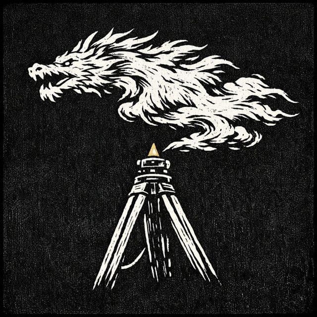
Mapping the Dragon: Kangxi and the Jesuit Survey of China
In the early eighteenth century, the Kangxi Emperor marshaled Jesuit mathematicians, Manchu and Han banner officials, and Tibetan lamas to conduct a nationwide topographical survey. Drawing on geodetic measurements, barometers, and astronomical baselines, they produced the Kangxi Atlas: an imperial masterwork that was quickly kept secret in Beijing while reshaping European cartography.
Listen in the Fylom app.
Kangxi studied Euclidean geometry under Jesuit scholars before ordering an empire-wide geodetic survey in seventeen zero-eight.
Surveyors abandoned traditional rectangular grids, placing the prime meridian directly through Beijing.
Trained Tibetan lamas measured the Himalayan plateau using calibrated step-measuring techniques.
Mercury barometers were hauled up mountain passes to record elevation across the empire.
The Qing court classified the copperplates as state secrets, but leaked copies were published across Europe.
Plundered survey copperplates were looted and scattered to Western institutions during the nineteen hundred Boxer Rebellion.
- 01Intro1 min
- 02The Emperor's Geometry3 min
- 03Chains, Stars, and Barometers3 min
- 04From Copperplate to Parisian Print2 min
- 05The Cartographic Reversal3 min
- 06Outro1 min
- 1994
- HOC VOLUME2 Book2 chapter7.pdf
- mdpi.com
- Reading Digital Atlas - 康熙皇輿全覽圖
- Category:Kangxi Atlas - Wikimedia Commons
- Cart.52.3 Kangxi Map opt.pdf
- Kangxi Atlas: How Jesuits Mapped Imperial China - TCI
- Imperial Maps of Xinjiang and Their Readers in Qing China, 1660–1860 | Journal of Chinese History 中國歷史學刊 | Cambridge Core
- Kangxi Map Discussion.pdf
- An Enterprise with Two Purposes: Measurement of Longitude in 17th and 18th Century China
- 6 qing 1.pdf
- Maps and materials for the Kangxi Jesuit Maps of 1721
- Qing Empire's Complete Map of All Under Heaven · HIST 1952
- kuleuven.be
- Staatliche Museen zu Berlin: Berlin battle copper
- Sicherheitsüberprüfung
- German museums may have thousands of looted relics from China’s Imperial Palace, research group believes
- Staatliche Museen zu Berlin: Traces of the ‘Boxer War’
- BurlingtonMagazine 2024.pdf
- Chinese Qing Empire's Mapping of the Northwestern Border · HIST 1952
- Preserving cultural heritage: Conservators offer an insight into their work
- A Research guide for public and private collections from the Boxer War | RM*[restitution matters]
Fylom generates episodes like this on any topic you're curious about.
Fylom episodes are researched, written, and voiced by AI. Automated checks help catch inaccuracies, but episodes aren't reviewed by a human and AI can still get things wrong. Treat them as a starting point, not a source of record — more in our accuracy disclaimer.